|
Visite virtuelle de la route de la Baie-James
Page 11 de 12
Page précédente
Page suivante |
| |
| Km 463:
View to the east of Kamatapukamaw Lake |
 |
Km 463: A Cree
Indian camp. These are spread out along the James Bay
Road and other roads in the area. They pretty well the
only buildings you will see along the Road. |
|
 |
Km
464: Riviere Vieux Comptoir (Old Factory River) rest stop.
Picnic table(1), toilet(1), no camping. Information panel: "Once upon a time...the
Earth". This photo is looking north down the hill towards the
river. A large forest fire was caused by lightning
here in 1989, which extended through to Yasinski Lake. |
|
 |
Km 464: Riviere Vieux Comptoir
(Old Factory River). One of the largest culverts in
the world is here. |
|
 |
Km
467: Very nice view of Old Factory Lake to the west. |
|
 |
Km
467: Old Factory Lake. |
|
 |
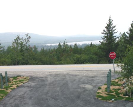
Km 467: Lac Vieux Comptoir
(Old Factory Lake) - rest area right alongside the Road. Very nice view of Old Factory Lake
to the west, especially at sunset. Picnic tables, toilets, no shelters, camping. No fires.
This is a very basic campground. This area was called the "Painted
Hills" by the Cree.
Information panels. |
|
 |
Km 467: Rocky hills
to the west. |
|
 |
Km 467: Factory Lake and
rocky hills |
|
 |
Km 467: The view from the
top of one of these hills. |
|
 |
Km 467: At the top looking back down to
the James Bay Road. There's no trail. |
|
| Km 469:
Mistanikap Lake is visible to the east |
 |
Km 469 |
|
 |
Km 475 (approx) |
|
 |
Km 477: Many areas
here are very sandy, with forests of Jack Pine. |
|
| Km 482:
Hydro Quebec microwave tower ("Sakami"). No emergency phone. |
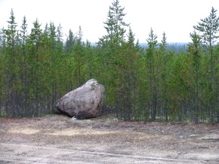 |
Km
488:
Information panel: "The trucks of the north." This isn't a photo
of that, but is a photo of the representative forest
here. |
|
 |
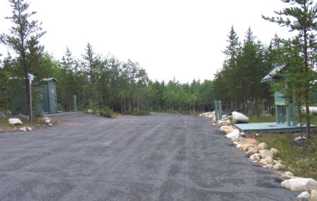
Km
503: Miron Lake, 1 km east off the Road.
Campground, picnic tables, toilet(1), boat launching ramp, fishing, no shelters.
This is a very basic campground, little more than a parking lot. Go down the
access road a ways, then turn left at the Indian hunt camp. This area
was used as a trapper's camp and worker's camp in the
past. Miron Lake was called "The crosswise house lake"
in the past by the Cree. |
|
| Km 504: Emergency telephone ("Chantal") |
 |
Km
517: Information panel. Nice wetland here.
It's good to stop every now and then and get out of
the car and simply have a look around at what's there. |
|
|
Page précédente
Page suivante |
|
|

