|
Visite virtuelle de la route de la Baie-James
|
|
|
|
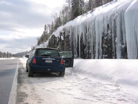
Photo by "Peter (uptick)" |
Km 20 (approx): In
the winter (February 2005). Nice icicles.
Photo by "Peter (uptick)".
CLICK HERE
to visit Peter's website and view the complete trip. |
|
|
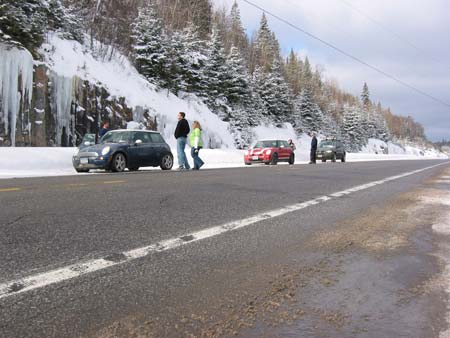
Photo by "Peter (uptick)" |
Km 20 (approx): In
the winter (February 2005). Photo by
"Peter (uptick)".
CLICK HERE
to visit Peter's website and view the complete trip. |
|
|
|
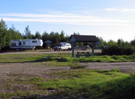
Km 37: Matagami Lake campground. 76 camping sites,
running water, sewage system (for RVs), showers, restrooms, fire places,
beach, shelters, pavilion, boat
launching ramp, fishing, playground, picnic tables. Open mid-June to Labour Day. There's a fee for camping here. (819) 739-4473.
Information panel at park entrance: "Surface deposits and the nature of
forest populations". |
 |
Km
38: Waswanipi River. Boat launching ramp just
north of the bridge, east side of the Road. 10 km
eastwards upriver from the bridge is the Red Falls, a
spectacular sight. Fishing, toilets. "Waswanipi"
is a cree word meaning "lake where we are fishing under torch light
or water reflections". |
|
|
|
Km 48: Junction with bush road R1025, running east from the
Road.
Leads to Olga Lake (Waswanipi River)(10 km) and Goeland (Gull) Lake (28 km). Campground on Olga Lake/Waswanipi
River (10 km), with boat launch ramp,
picnic tables and shelters(2), toilets(2). Nice campground, limited space. |
 |
Km 48: This is the
access road (Bush Road R1025) which runs east from the
James Bay Road to the Waswanipi River (Olga Lake) (10
km) campsite and Goeland (Gull) Lake (28 km). The next
five photos are at this campsite. |
|
 |
Km 48: Campsite on
Olga Lake, 10 km east of the Road. |
|
 |
Km 48: Boat launch
ramp into Olga Lake. |
|
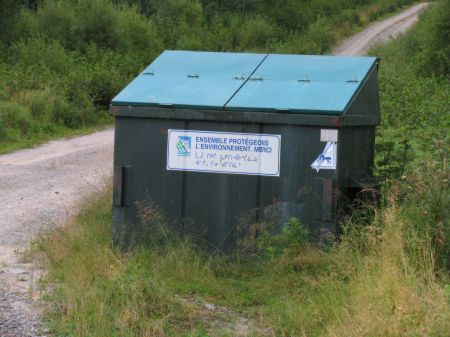 |
Km 48: Garbage Bin.
Yes, I'm sure you don't need to know what a garbage bin
looks like!! :)
This picture is here to remind you, if you make the
journey up here, to please dump your garbage in these
bins, and help keep this whole region clean and litter-free. |
|
 |
Km 48: And this
picture is here to remind you that these facilities are
partially supported by donations. The sign says:
"Contrary to common belief, these premises are not
financed through your hydro bill or gasoline taxes. This
is why the Municipality would very much appreciate your
support in order to maintain and improve these great
services (suggested contribution: $5.00/day)." |
|
|
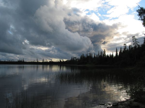
Km 48: Sunset over Olga Lake |
|
 |
|
| Km 49: Canet River. |
 |
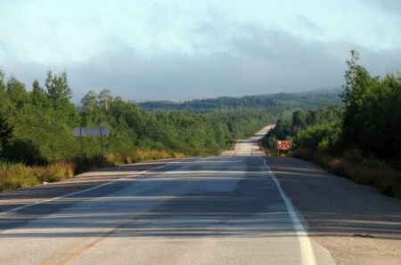
Km
50: For the first 200 km of the James Bay Road,
logging roads branch off into the forest on either side.
As a result, you may encounter logging trucks from time
to time. Information panel: "Boosting forest
rebirth" |
|
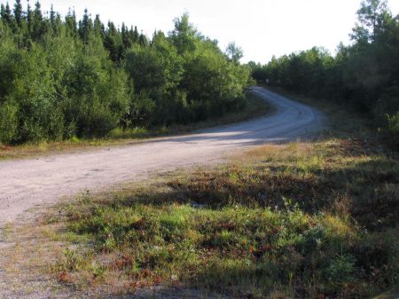
| km 60: Junction with bush road R1022, running east from the
Road. |
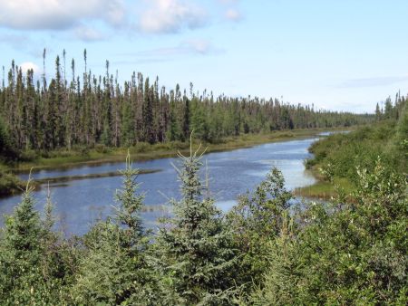 |
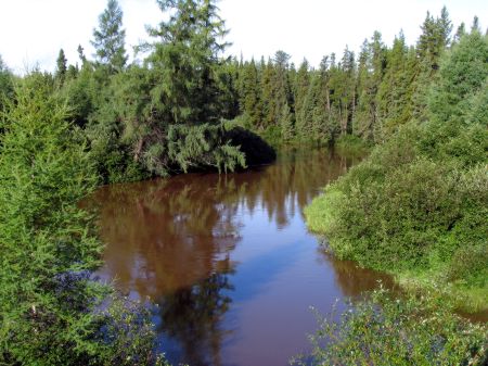
Km
70: There's a nice view of a small, unnamed river here. |
|
 |
Km 70: Looking
north. |
|
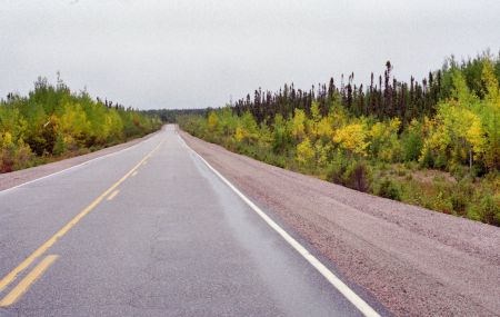 |
Km 78: In the
autumn |
|
 |
Km
80: Looking north. |
|
 |
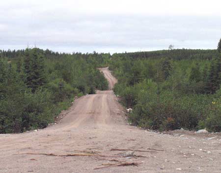
Km 80: Access road
leading to Ouescapis Lake campground, 1.5km east off the
Road. |
|
 |
Km 80: Ouescapis Lake campground, 1.5 km east off the
Road. Picnic tables, shelters, toilets, boat launching ramp, fishing. Nice
campsite, many sites. Note that the boat launch is
¾km from the actual campsite, and no camping is allowed at the
boat launch itself. There appears to be an "overflow" camping area part
way along the road to the boat launch, on the left. There's no tables or
anything there, but it is an open area where you can park or place a
tent. |
|
| Km 88: Information panel: "Forestry Activities" |
 |
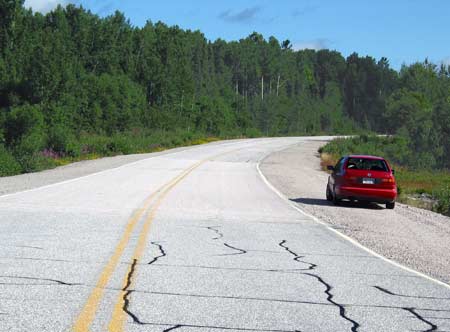
Km 93: Nice fall
colours! |
|
 |
Km 99: Muskeg
River. |
|
|
Page précédente
Page suivante |
|
|

